東赤石山を終えて、ここまで6つの三百名山を登った。残りは剣山と三嶺だが、ここまできれいにクリアできちゃうと、パスした三本杭がますます悔しくなる。どうしようかな、ここから遠いなあ、とぐちぐち悩んでいたが、あまり悩みすぎるのも健康に悪いので戻ることにした。
ここからまっすぐ行っても250キロを越える。でも、どうせ行くなら高知を経由して行こう。せっかくだから高知を通って足摺岬まで行ってみるか。そんなことを考えたらワクワクしてきて、もはや行かないという選択肢はなくなった。(単純な人間です)
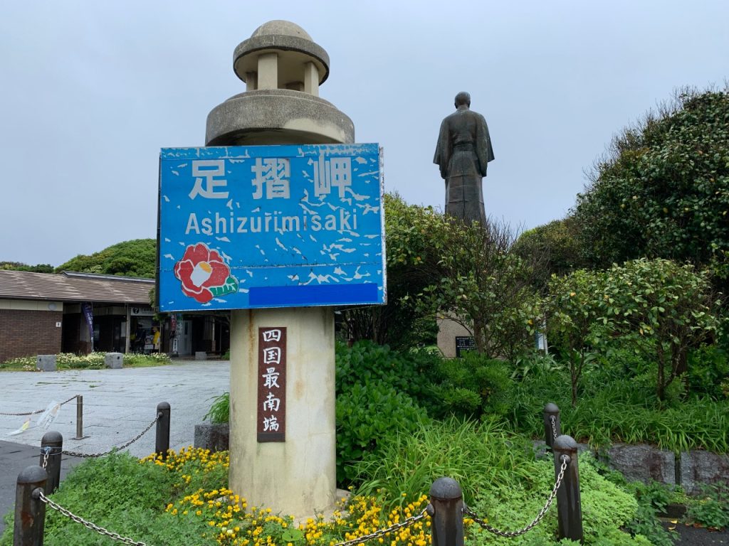
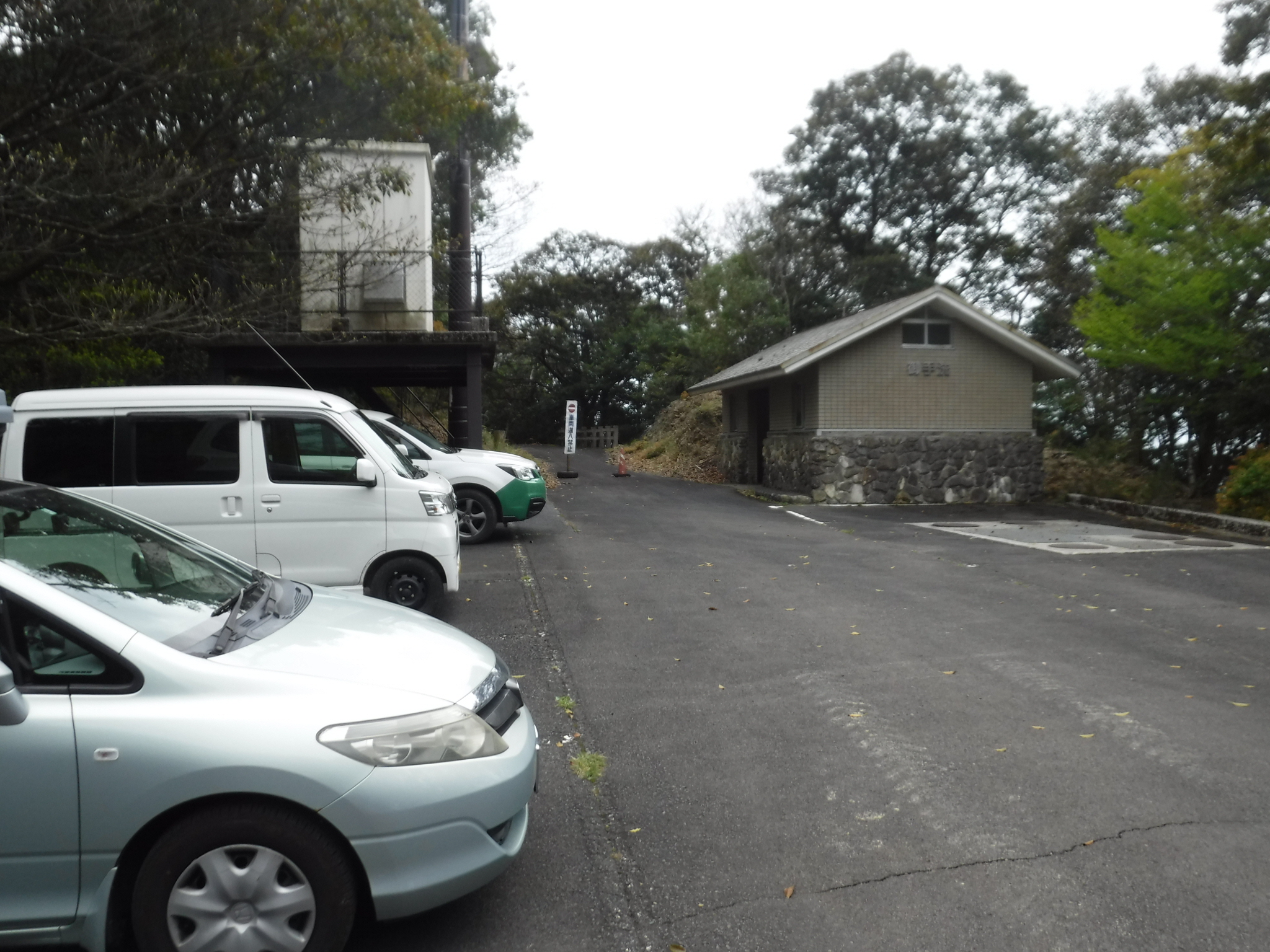
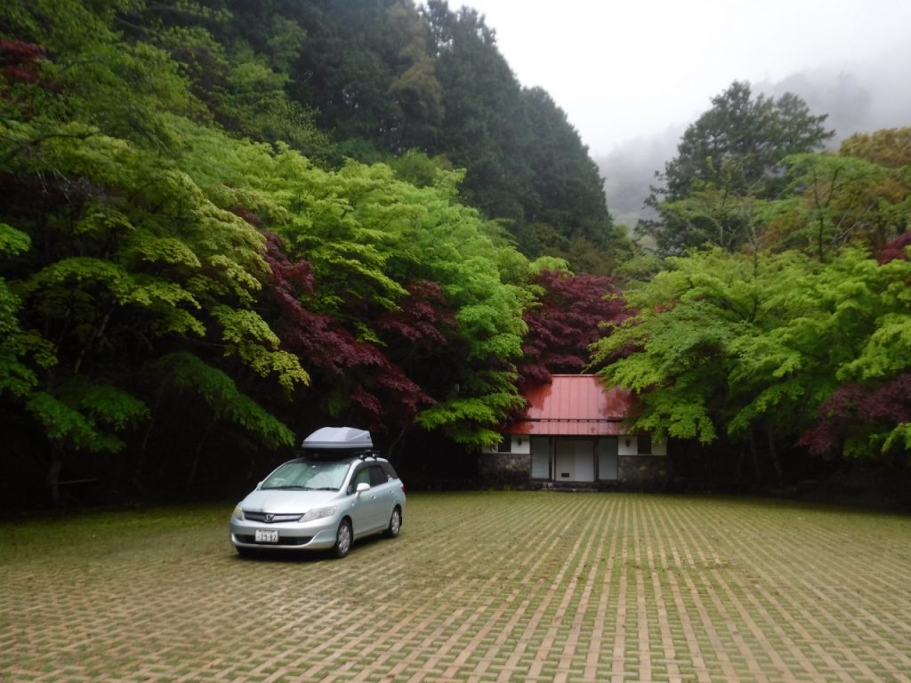
24日は南国市から高知市を通り、足摺岬を観光し、38番札所の見事な庭園を見て、それから登山口に向かった。四国に入って早々に聞いた「三本杭への道路、通行止めで行けませんよ」という情報は、実際に行ってみると時間閉鎖をしているだけの話で、しかもこの日は解除になっていた。(人の話はすぐ信じないで公式の情報を得ること)登山口の駐車場は広く、そして今日も他に人はいない。静かに寝るとしよう。
夜中、ふと目が覚めて窓の外をみると、車のすぐそばに立派な角の鹿が立っていた。それは駐車場を照らす街路灯に映えて、美しい妖精のようにも見えた。しばらくそこに立って何かを考えていた鹿は、やがてゆっくりと立ち去った。そして自分は再び寝袋の中。
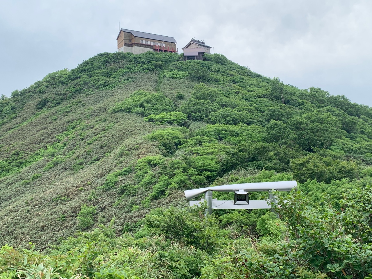
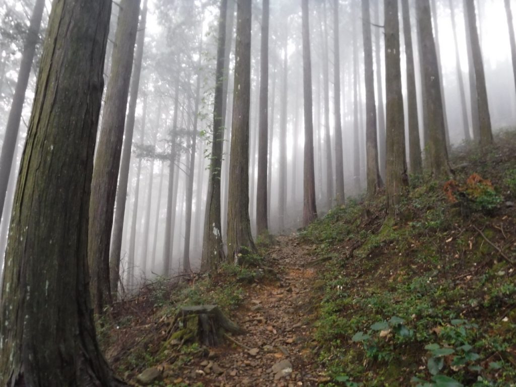
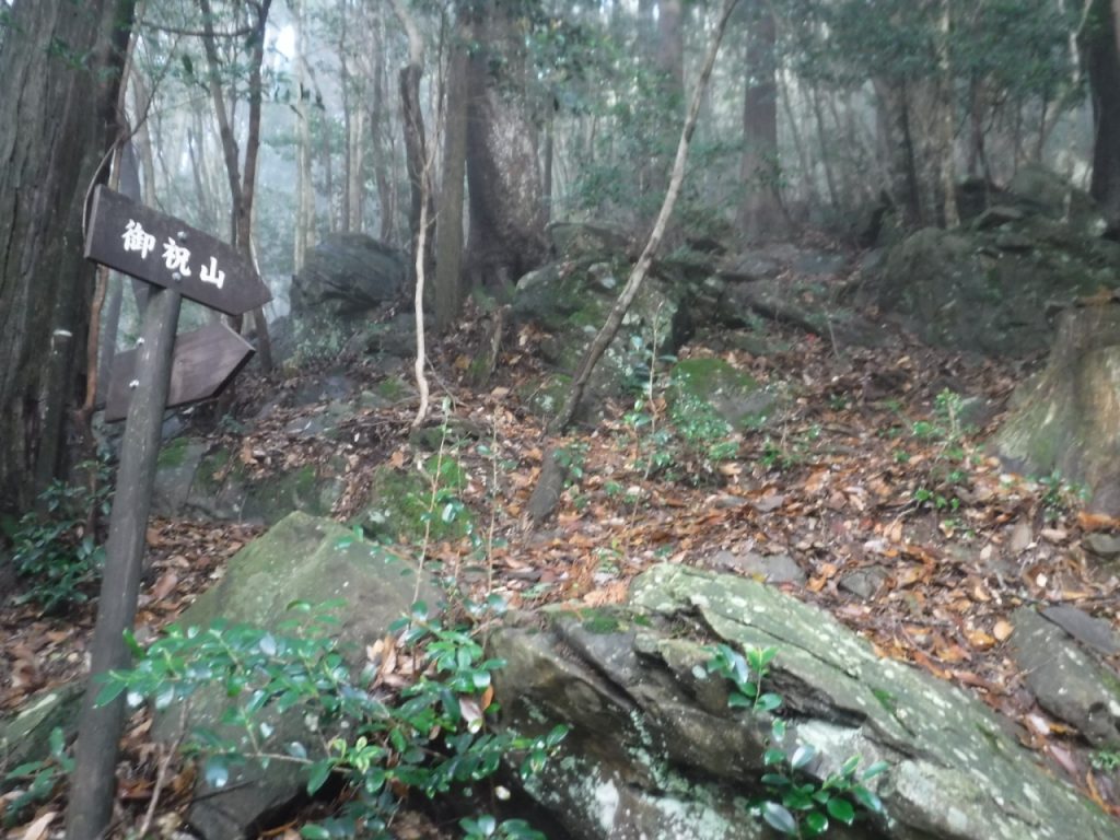
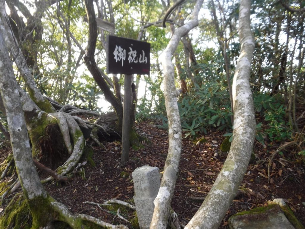
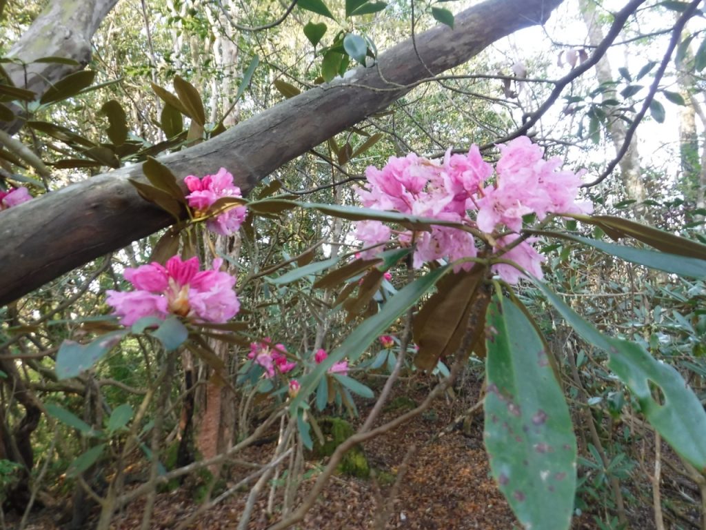
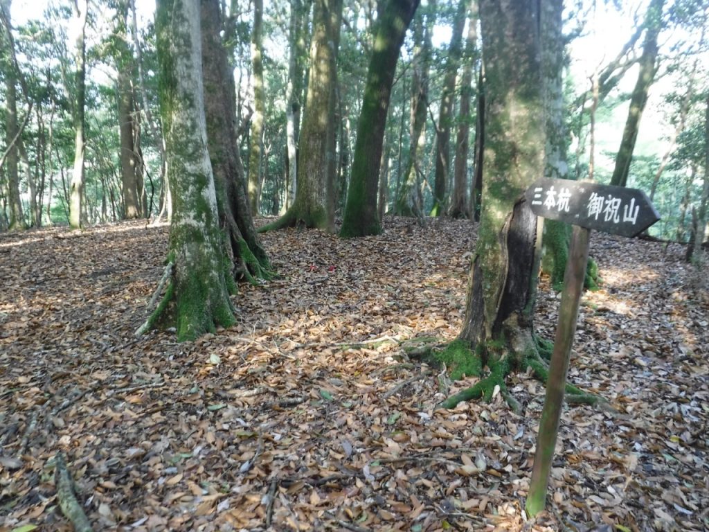
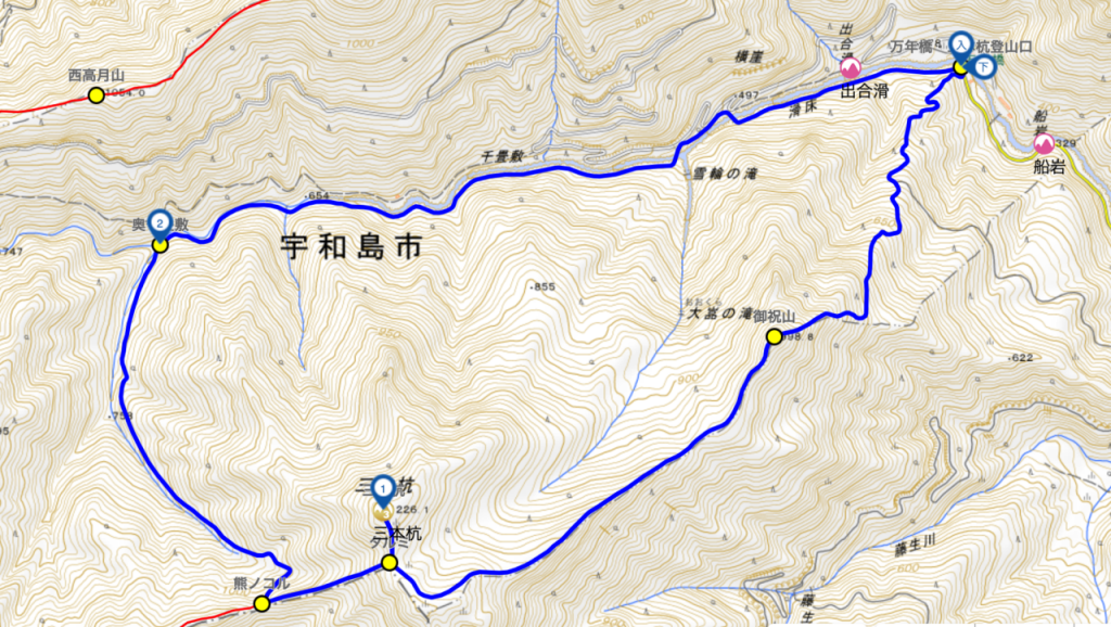
4月25日朝、5時20分出発。ここは滑床渓谷という景勝地だが、まずは山頂を目指す。三本杭は、手前にある御祝山を越えてさらに先だ。3時間程度のコースタイムなのでかなり遠い。しかし、東赤石山や笹ヶ峰に比べれば斜面は急とは言えず、登りやすい山と言える。それでも御祝山まではなかなかハードな登りが続く。6時50分、御祝山に到着。山といっても小ピークというべき小さな突起で、ここからはなだらかな尾根を進むことになる。表現を変えれば、三本杭を頂点とする広大な山頂部の隅っこにあるのが御祝山とも言える。
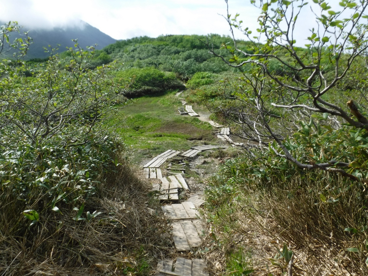
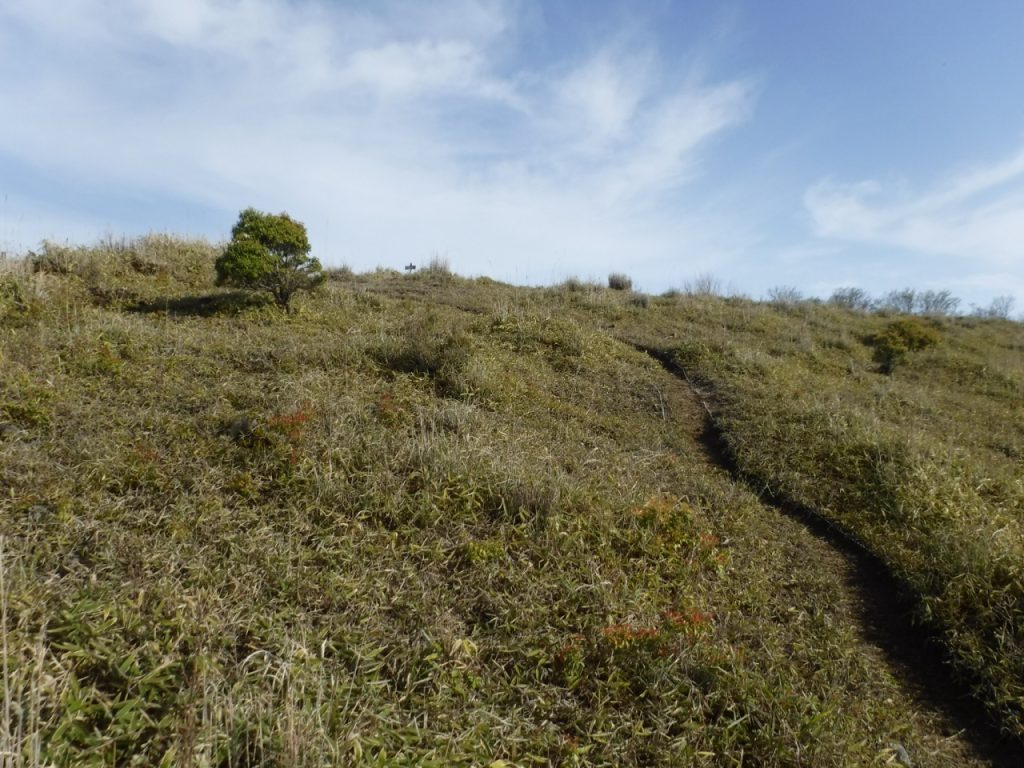
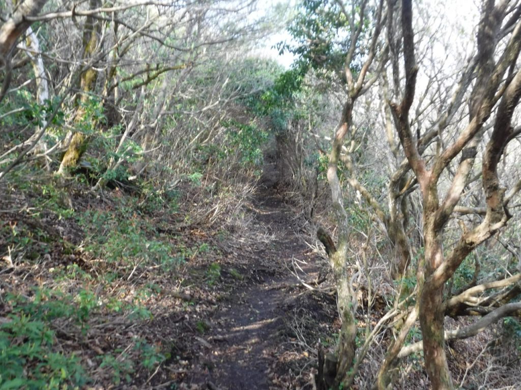
なだらかで、ほとんど平地を歩くのと同じような感覚だ。実際、2キロほどの道のりを歩いて200mちょっとしか高度が上がらないのだから、山登り感はほとんどない。7時40分に山頂への分岐点を通過。ここからは再び上りになる。少し進むと鹿避けの金網をくぐり、ゆるやかな笹原を歩き、山頂へ。時計は7時55分、分岐点から15分の行程だった。

山頂でしっかり昼食を取って一休みする。(実際には8時なので朝食だが、登山の時は何時であっても山頂で食べるのは昼食だ。この感覚、他の人はどうなんだろう)山頂は平らな大地で、明確に領土を分けることはできなかったのだろう。だから3つの藩が杭を打って領土の確認をしたというのが名前の由来になっているようだ。(諸説あり) そういえば、那須岳の近くに三本槍という山があって、そちらも3つの藩が関わっていた筈だ。こんな由来の山、他にもあるかもしれないな。
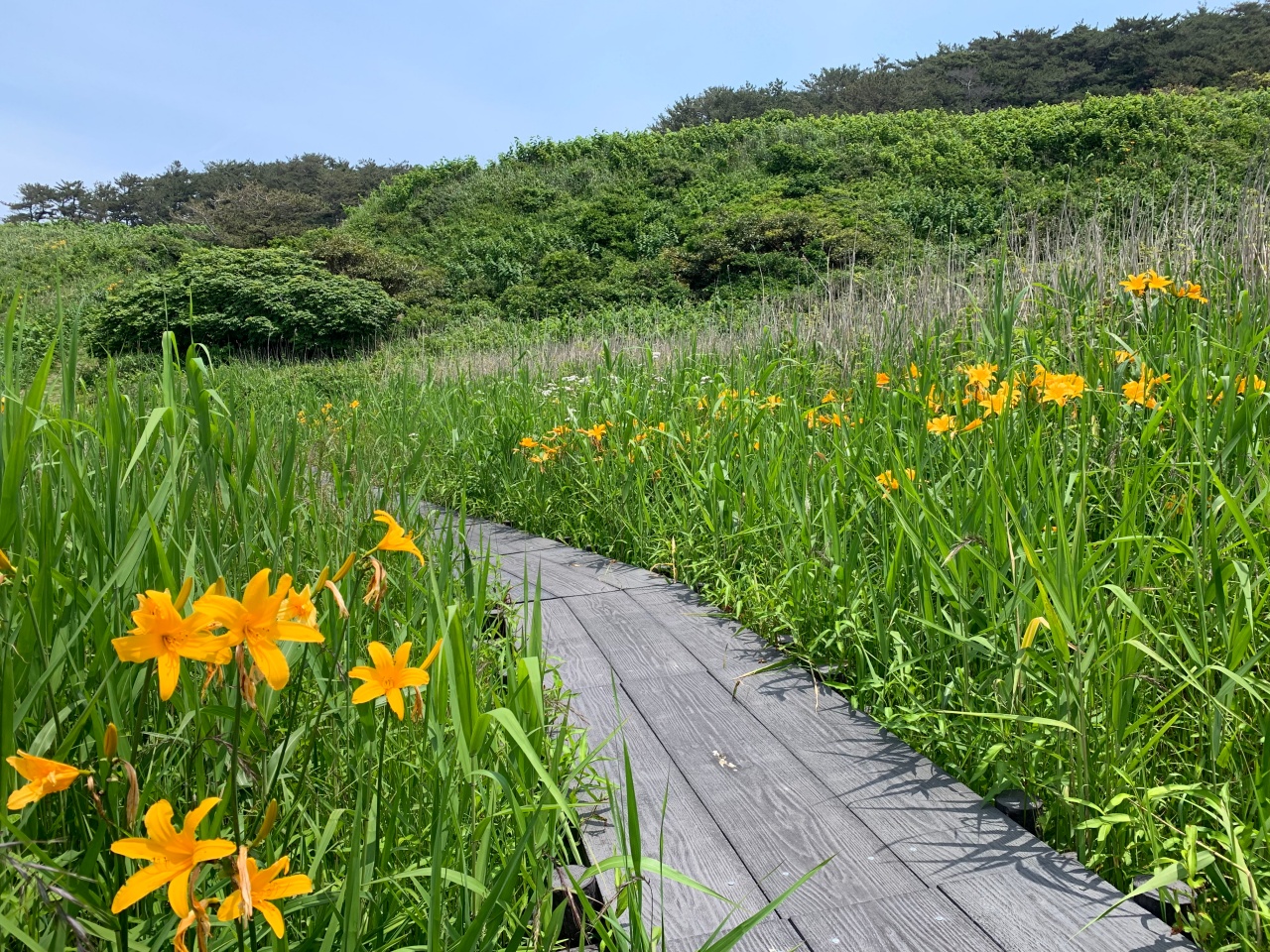
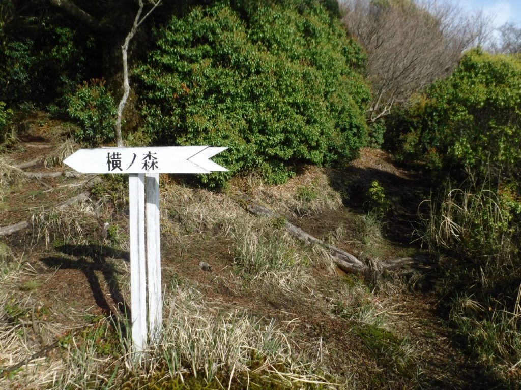
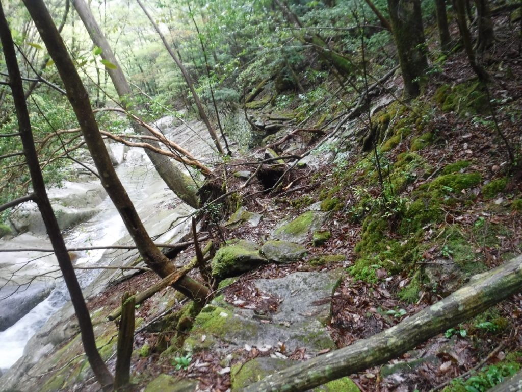
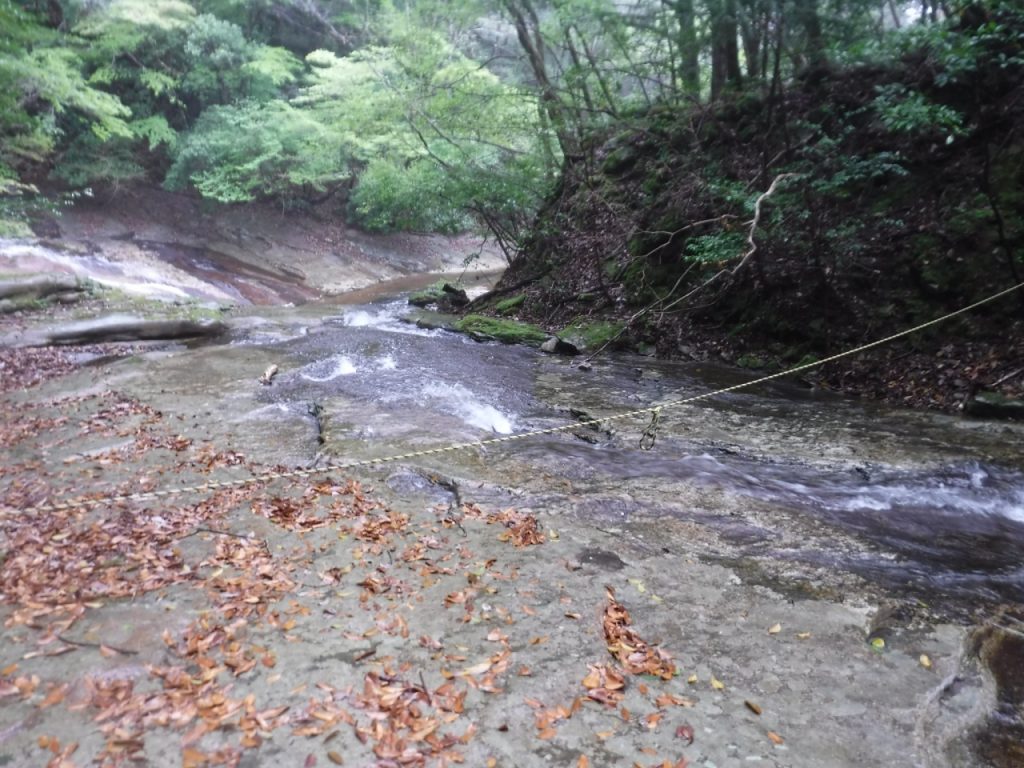
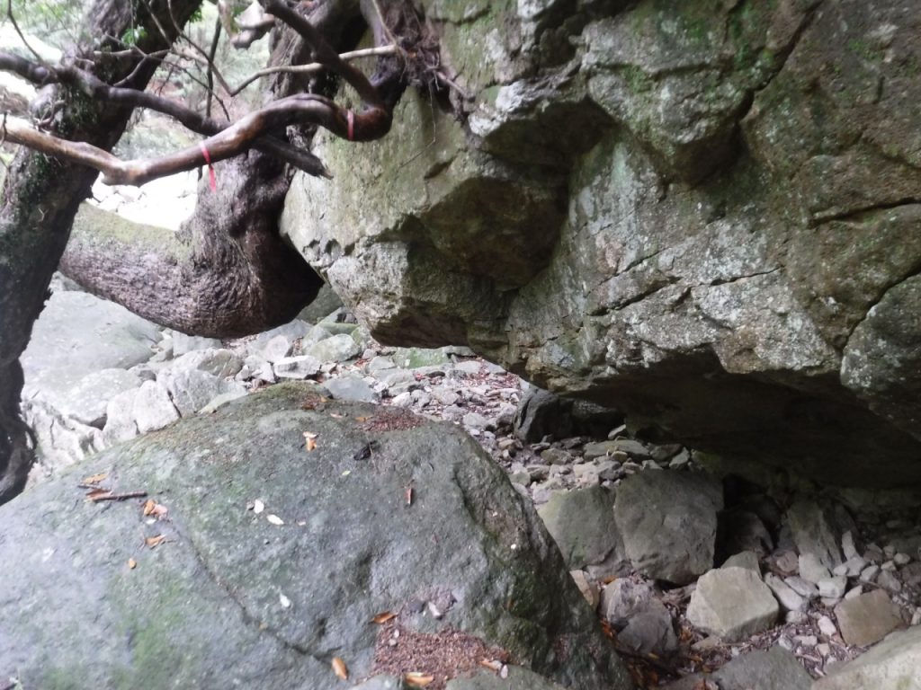
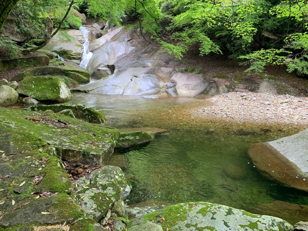
帰りはは滑床渓谷の上流に降りて、あとは渓谷沿いの散策道を歩く。散策道といっても、若干荒れている場所や、岩を舐めて流れる大きな滝を越えたりと、普通の街歩きの服装では苦しい場所もある。上流まで行くならきちんとした履き物は必須だ。それにしても美しい渓谷だ。まだ4月だからシーズンではないが、夏場はきっと多くの観光客で賑わうのだろう。それは駐車場の広さからも伺える。
10時45分、駐車場到着。今日も誰とも会わない登山が終わった。
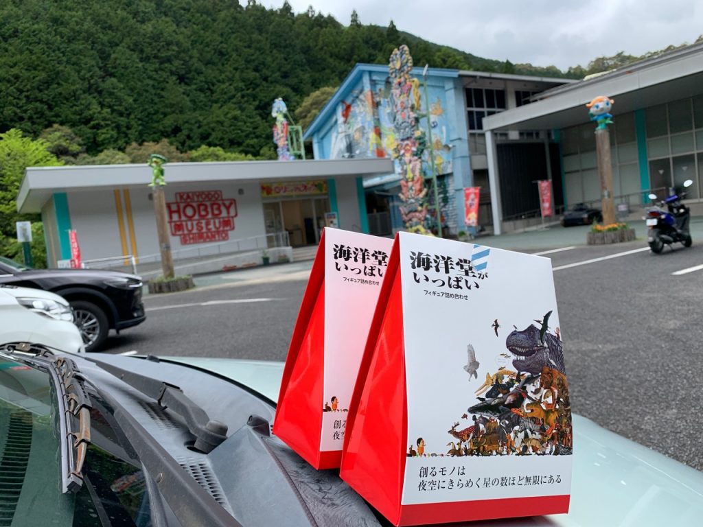
この後、帰る途中に「海洋堂博物館」というマニアックな看板を見つけてしまった。あの一斉を風靡した「チョコエッグ」のおまけのフィギアを作った会社だ。これをパスする選択肢はない。なんなら、休みだったら駐車場で車中泊して待ってもいいくらい。
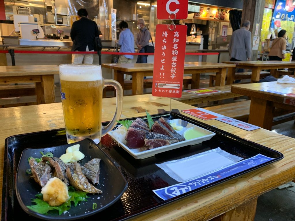
そして高知に入って「ひろめ市場」でタタキを肴にビールをいただく。かなり遠回りしてしまった三本杭だが、予想以上に観光ができて、結果論だがこれが一番良かったような気がする。(ポジティブは正義なのだ)
After finishing Mt. Higashiakaishi, I climbed 6 famous mountains so far. The rest are Tsurugiyama and Miune, but even if I can clear this cleanly, it will be even more frustrating for Sanbongui I passed. I had been worried about wether I should go or not, but I decided to go back because worrying too much is bad for my health.
Even I go straight there from here, it’s over 250 kilometers. But I have a chance to go toKochi and Cape Ashizuri. Thinking about it made me so excited that I no longer had the option of not going. (I’m simple)
On the 24th, I traveled from Nankoku City through Kochi City, sightseeing Cape Ashizuri, seeing the splendid garden at the 38th Fudasho, and then heading to the trailhead. As soon as I arrived in Shikoku, I heard that the road to Sanbongui was closed, so I couldn’t go there.. (Don’t believe people’s stories, and should get official information) The parking lot at the trailhead is large, and there are no other people today. Let’s sleep quietly.
In the middle of the night, when I suddenly woke up and looked out the window, I saw a deer with magnificent horns standing next to my car. It looked like a beautiful fairy against the streetlights that illuminated the parking lot. The deer stood there thinking about something for a while, and then slowly left. And I’m back in my sleeping bag.
Departure at 5:20 on the morning of April 25th. This is a scenic spot called Nametoko Valley, but first we aim for the summit. Mt. Sanbonkui is beyond Mt. Iwaiyama in front. The course time is about 3 hours, so it’s quite far. However, compared to Mt. Higashi-Akaishi and Mt Sasagamine, it is easier. Even so, the climb to Mt. Iwaiyama continues quite hard. At 6:50, I arrived at Mt. Iwaiyama. Even it is called a mountain, it is a small protrusion that should be called a small peak, and from here I will proceed along a gentle ridge. On the other word, I can say that Mt. Iwaiyama is located in the corner of the vast summit of Mt.Sanbongui.
It’s gentle, almost like walking on flat ground. In fact, it doesn’t feel like mountain climbing because the altitude rises only a little over 200m after walking about 2km. At 7:40, I passed the last junction to the summit. From here it goes up again, through gentle short bamboo grass fields, and reach the summit. The clock was 7:55, 15 minutes from the junction.
“Have a proper lunch at the top of the mountain and take a rest.” (Actually, it’s breakfast at 8 o’clock, but I call foods eaten at the top of the mountain as a lunch at any time I climb. I wonder what other people think about this feeling.) The top of the mountain is flat land, and the territory cannot be clearly defined. Therefore, it seems that the name (Sanbongui means three stakes) is derived from the fact that three clans drove stakes to confirm the territory. (There are various theories) Coming to think of it, there was a mountain called Sanbonyari (means three soears) near Mt. Nasudake, and there must have been three domains involved. There may be other mountains of such origin.
On the way back, get off at the upper stream of Nametoko Valley, and then walk along the trail along the valley. Even though it’s called a walking path, there are places where it’s a bit rough, and there are places where it’s difficult to walk in normal city walking clothes, such as going over a large waterfall that licks rocks. Proper footwear is a must if you want to go upstream. It’s still a beautiful valley. It’s still April, not the season, but I’m sure it will be crowded with many tourists in the summer. It can be seen from the size of the parking lot.
At 10:45, we arrived at the parking lot. Climbing without meeting anyone today is over.
After that, on my way home, I found a maniacal sign that said “Kaiyodo Museum”. This is the company that made the bonus figure of the “Choco Egg” that took the world by storm. There is no option to pass this. Even if it is closed, I could stay in the car in the parking lot and wait over night.
Then, in Kochi, I had beer with tataki as a side dish at Hirome Market. Although I took a long detour, I was able to do more sightseeing than I expected, and in hindsight, I think this was the best. (positivity is justice)